Red Tail Surveying’s capabilities include property boundary surveys, subdivision surveys, land divisions, land title surveys, legal descriptions, topographic maps, and aerial platting. We also provide construction layout, architectural surveys, subdivision certifications, and slope analysis. We work closely with land owners, contractors, architects, title companies, real estate professionals, lawyers, utility companies, and government offices, and can provide full consultation services and expert witness testimony on land issues. Rob is also the only CFeds-certified surveyor in the area, certified for services on tribal and federal lands.
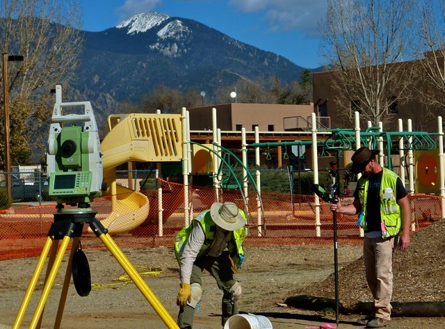
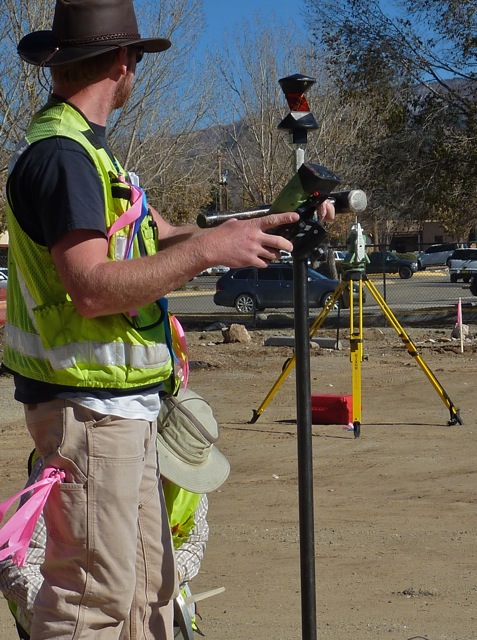
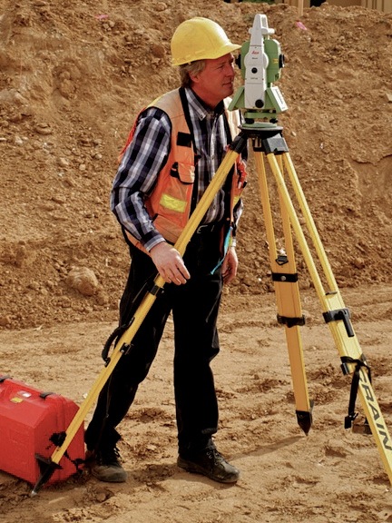
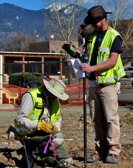
In the field, Red Tail Surveying deploys a Leica Viva GPS/GNSS System as well as a robotic theodolite for data acquisition. These tools permit precise location of monuments, topography, utilities, roadways and other improvements, sites of cultural, archaeological and biological significance, and any other aspect of the physical environment. In the office, Red Tail Surveying, Inc. employs the entire suites of AutoCAD mapping and surface management utilities, including Land Development Desktop, Civil Designs, Survey and Map-GIS to assist in a variety of services above and beyond traditional our already extensive array of boundary survey and mapping services. Additionally, digitized three-dimensional topographic models, aerial photographs, and extensive in-house historic and cultural reference materials offer us a multi-layered foundation for analysis and depiction of virtually any element of the northern New Mexico landscape. Clear, concise, easy-to-read plats and maps, enhanced by responsive post-survey follow-up and consistent long-term support, are Red Tail Surveyings hallmarks.